
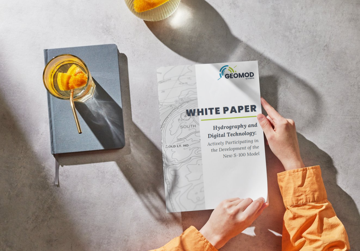
White Paper - Hydrography and Digital Technology: Actively Participating in the Development of the New S-100 Model
Catégorie : Our offer
03 October 2024
Geomod's team in Brest applies its expertise in marine geomatics by offering software solutions for using or producing standardised hydrographic and oceanographic products such as Electronic Navigational Charts (ENC) or military layers (AML).
In order to maintain its expertise, Geomod actively participates in the IHO (International Hydrographic Organisation) working groups responsible for developing standards for the exchange of maritime products as well as standards for the use of these products. The main objective of these standards is to contribute to the safety of navigation.
Backed by many years' experience, particularly in providing bespoke services to clients with a strong reputation in their field, our marine geomatics offering covers the development of software for producing, displaying and using nautical charts and navigation applications, as well as consultancy, expertise and training.
To receive regular updates and news about our marine geomatics activities
Geomod's marine geomatics activity covers the production of standardised nautical charts (S57) and the exploitation of navigation data, as well as the development of standardised hydrographic and oceanographic products such as Electronic Navigational Charts (ENCs) or military layers (AML).
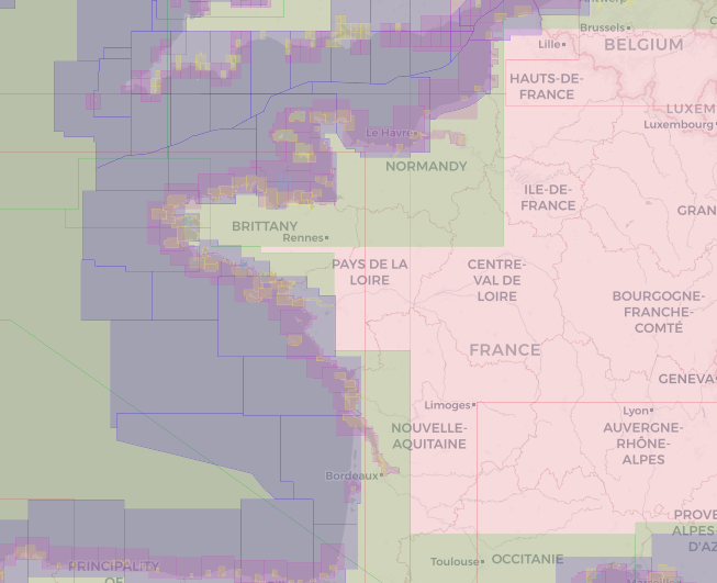
Geomod offers Calhypso (production and updating of bathymetric navigation charts), PortAll (port management and navigation), MariNav (chart management for marinas) and a WMS web service for displaying ENC vector data.
Calhypso makes it possible, from an Electronic Navigational Chart (ENC) and/or bathymetric data, to create or update depth contours and sounding selections on the chart in a matter of minutes — rather than several weeks — and to automatically detect bathymetric information that is hazardous to navigation. It was developed drawing on the combined expertise of Geomod and the Shom (French Hydrographic Office).
PortAll is Geomod's application dedicated to port management and navigation. It notably incorporates the S-100 standard and offers a PortAll Mobile mode.
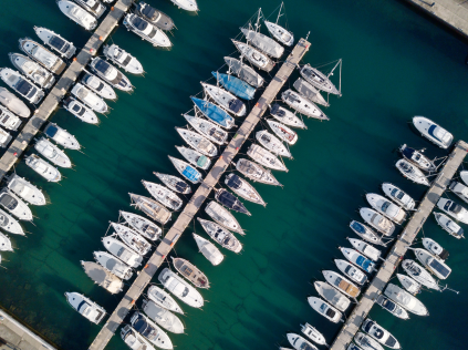
MariNav is Geomod's chart management tool for marinas. It enables real-time tracking of spaces and mooring lines, as well as the optimisation of berth allocation, safety and maintenance, turning a marina into a "connected marina".
PortAll addresses port management and navigation in the broader sense (piloting, port allocation), whereas MariNav is specifically designed for chart management at marinas (mooring line tracking, berth allocation for boat owners).
Port Revel chooses Geomod to develop its new training tool for maritime pilots worldwide.
Armada 2023 welcomes the world's largest sailing ships to the port of Rouen
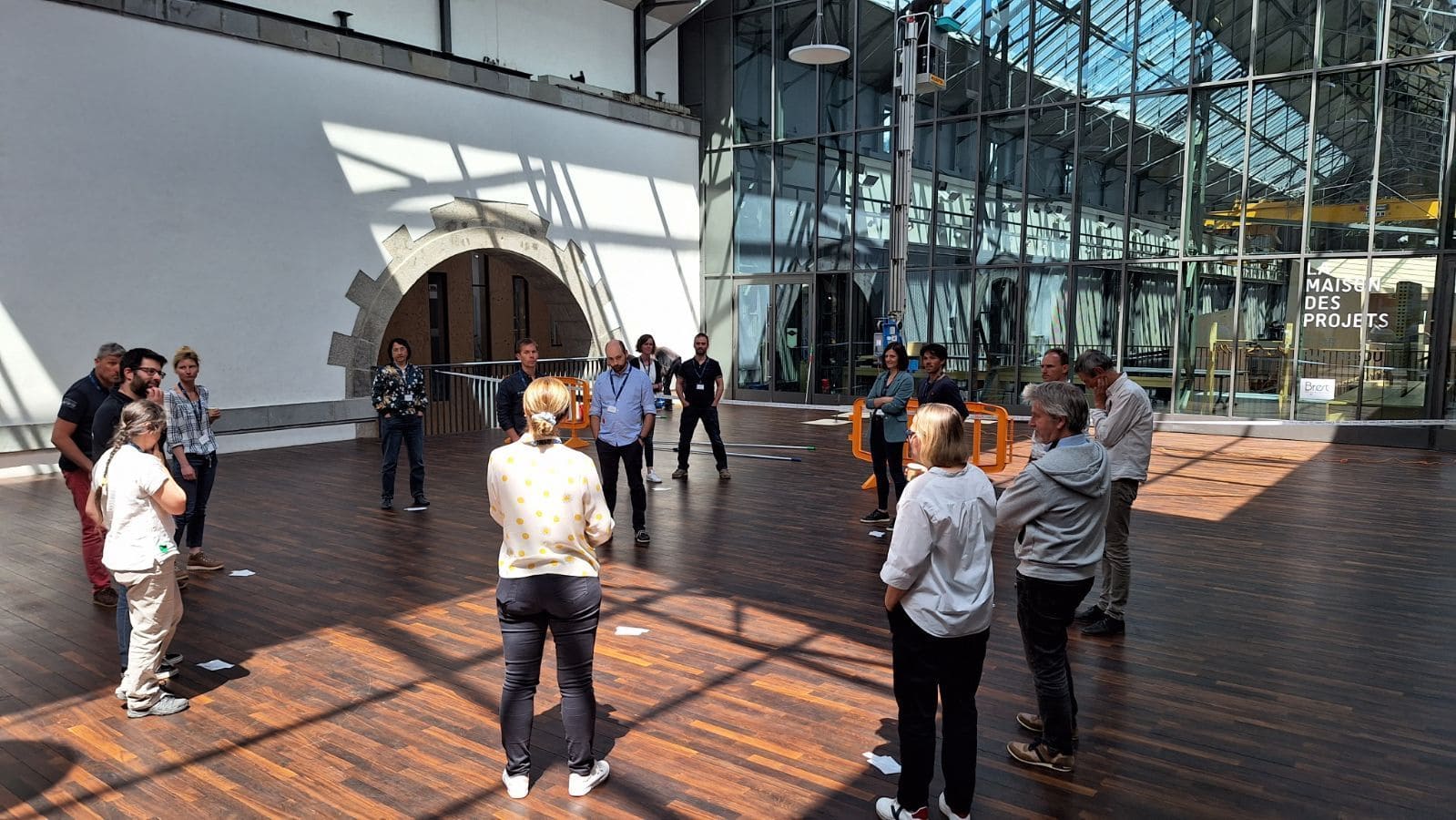
Geomod by Coexya takes part in the S-100 workshop in Brest organized by Shom