
Pilotez l’exposition aux ondes dans votre commune : découvrez MithraREM au Salon des Maires 2025 !
Catégorie : Congresses
21 October 2025
Mithra is a range of software developed in partnership with the CSTB. This software combines the research power of the CSTB with Geomod's quick responsiveness in development and support:
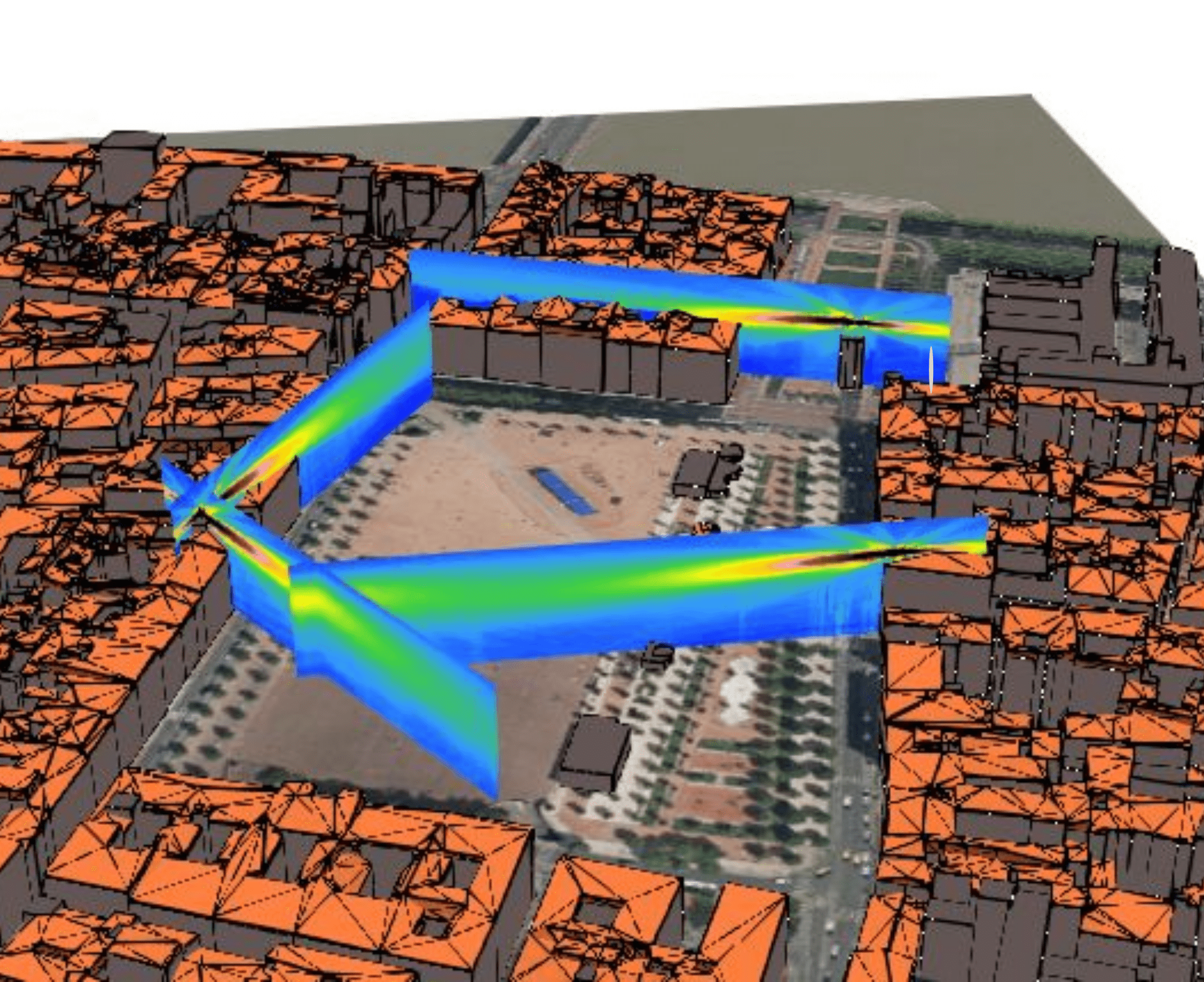
The MITHRA calculation engine developed by the CSTB is based on a high-performance algorithm that searches for paths between sources and receivers in a complex environment. The paths consist of direct diffracted or reflected rays used in different environments such as:
Since 1999, Geomod by coexya has been the French distributor of the Geospatial Solutions software, Spatial Information System® (SIS). Over the years, Geomod has developed a complete mastery of SIS technology, enabling us to create high-value scientific applications.
Integration of SIS 3D GIS technology for maximum interoperability
The software incorporates SIS (Spatial Information System®) technology from NEC Software Solutions. Using the SIS engine means that files can be read and written in a multitude of exchange formats, ensuring interoperability.

Svantek has been marketing sound level meters in Italy for over 30 years. It is the first distributor of MithraSIG, a key partner for Geomod as the product is now translated into Italian. Since 2016, Svantek has been pushing us to develop our products technically and commercially to better meet the needs of our future customers.


To receive regular updates and news about our wave propagation activities.
Wave propagation refers to the modelling of acoustic and electromagnetic waves across different environments — dense urban areas, open spaces, or mountainous sites where terrain affects how waves spread.
Geomod offers the Mithra software range, developed in partnership with the CSTB (Scientific and Technical Centre for Building): MithraSIG, MithraREM, and the RemOnline support tool for local authorities.
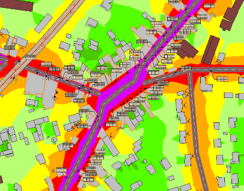
MithraSIG is Geomod's software dedicated to outdoor acoustic simulation.
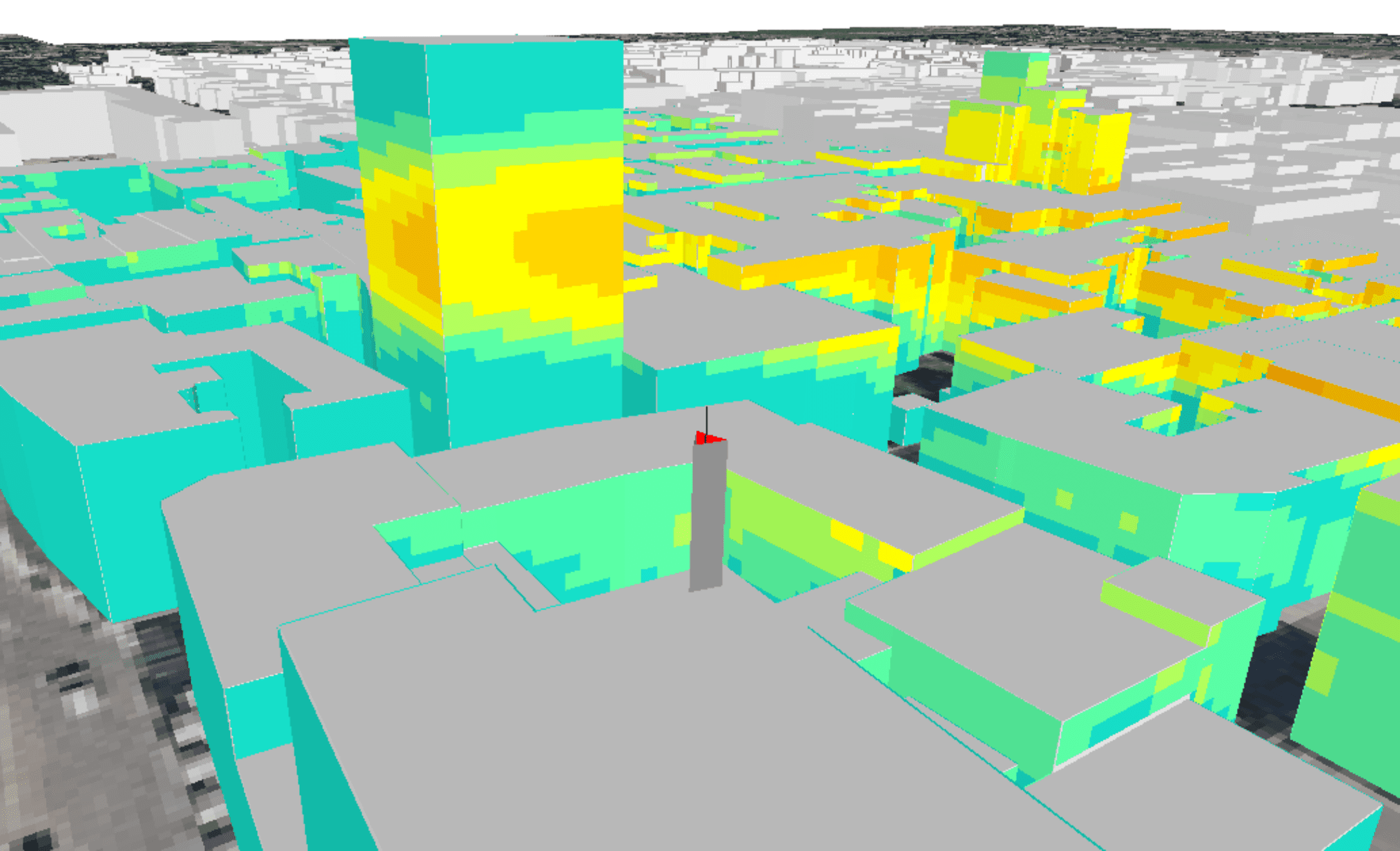
MithraREM is Geomod's software dedicated to simulating exposure to electromagnetic fields.
RemOnline is Geomod's tool for local authorities, helping them carry out an assessment of electromagnetic wave exposure, facilitate dialogue with telecoms operators, and provide clear indicators to support local decisions on antenna siting.
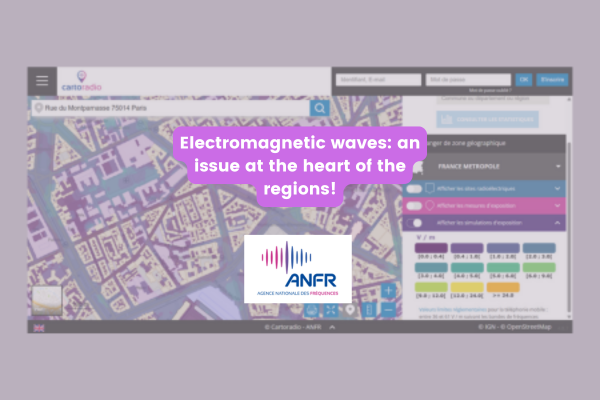
Yes. Geomod contributed, together with the French National Frequency Agency (ANFR), to the development of the first national simulator of electromagnetic wave exposure generated by mobile phone masts, accessible via the Cartoradio.fr platform and the OpenBarres mobile app. This tool simulates exposure across more than 130 billion points nationwide.
MithraSIG is the software for outdoor acoustic simulation. MithraREM is the software for simulating exposure to electromagnetic fields.
Using MithraREM to simulate exposure to electromagnetic fields, OFCOM Bakom explains it all in video!