Geomod, a developer of geomatics and specialist mapping software
Geomod designs and distributes GIS (Geographic Information Systems) software tailored to the specific needs of the marine geomatics, wave propagation and water management sectors. For the past 25 years, our mapping solutions have supported local authorities, industry and engineering consultancies in their land-use planning, development and management projects.

25 YEARS OF EXPERTISE

PRESTIGIOUS REFERENCES

BUSINESS EXPERTS
Discover our activities

Marine Geomatics
Production of standardised nautical charts (S57) and use of navigation data.

Water Management
Distribution and integration of mapping solutions for water management.
More than 370 large and medium-sized companies place their trust in us


News
Catégorie : Our offer
03 October 2024
QGIS : Looking ahead to the new version 4.0
Catégorie : Our offer
07 April 2026
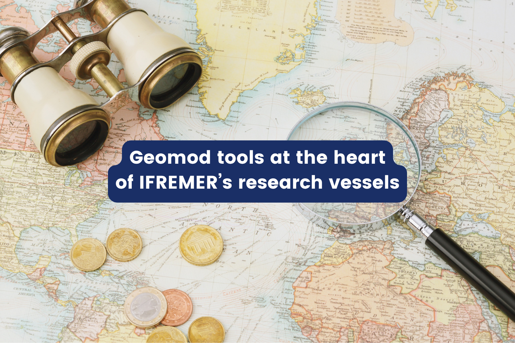
GEOMOD tools at the heart of IFREMER’s research vessels
Catégorie : Our offer
10 April 2026
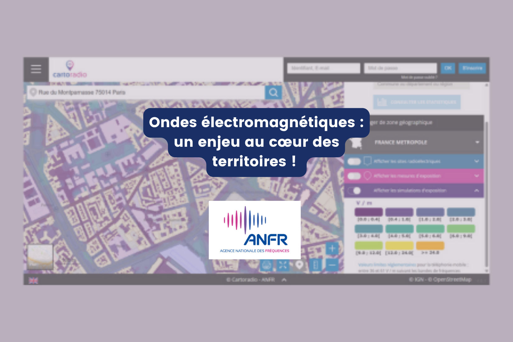
Geomod contributes to the development of the first national simulator of exposure to electromagnetic waves
Catégorie : Our offer
10 April 2025
Accédez à nos dernières newsletters
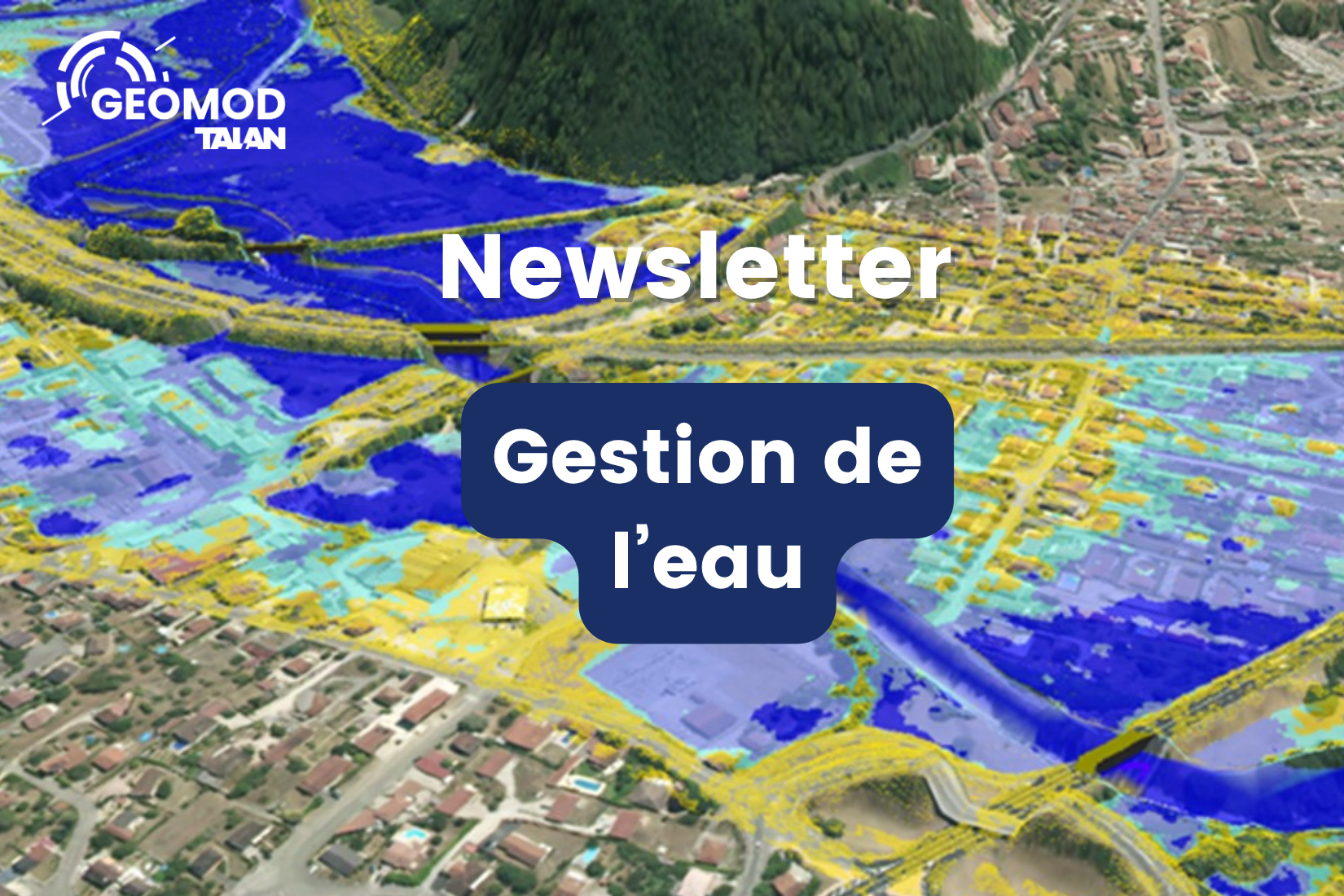
Découvrez nos dernières actualités de l'activité Gestion de l'eau - Mars 26
Catégorie : Newsletter
11 March 2026
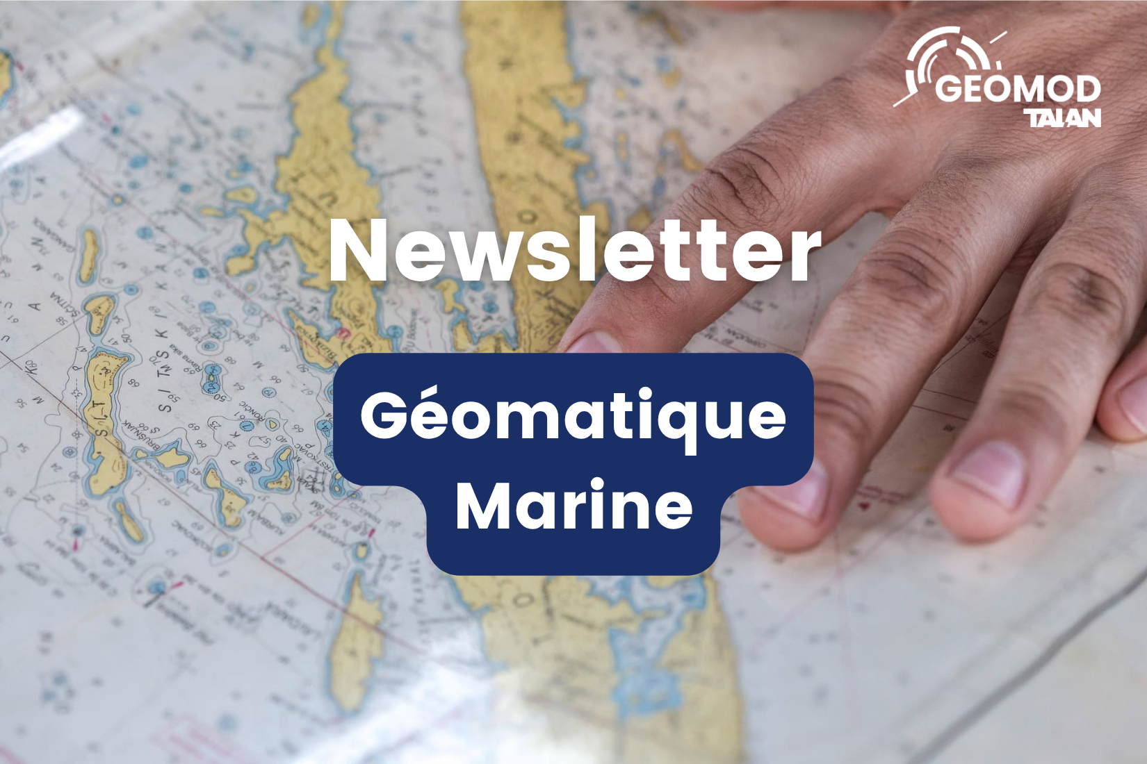
Découvrez nos dernières actualités de l'activité Géomatique marine - Avril 26
Catégorie : Newsletter
09 April 2026
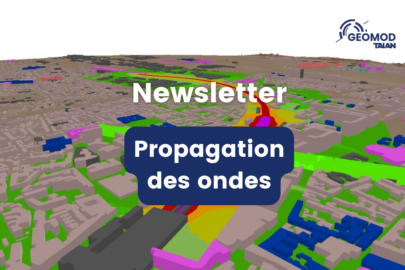
Découvrez nos dernières actualités de l'activité Propagation des ondes - Avril 26
Catégorie : Newsletter
20 April 2026