GeoDataDays 2026 : Geomod by Coexya looks forward to seeing you in Tours
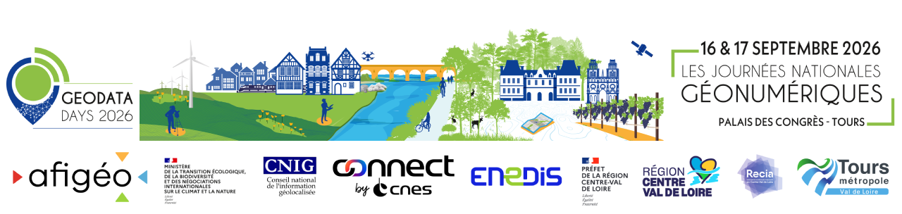
On 16 and 17 September 2026, Geomod by Coexya will be taking part in GeoDataDays at the Palais des Congrès in Tours 📢
📍 Come and see us at stand 39 to chat with our teams about geodata, modelling and their applications for local authorities.
There will be several talks throughout the two days, including a sponsored workshop with the Coexya team – experts in Geographic Information Systems – on 16 September at 4.00 pm, on "Feedback and discussion on the challenges and solutions in asset management", as well as the ANFR conference "Mapping exposure to electromagnetic waves: can data promote regional transparency?", in the early afternoon of 17 September.
This presentation will showcase the national electromagnetic wave exposure simulator, established as part of the 4th National Health and Environment Plan (PNSE 4) and developed in collaboration with the Directorate-General for Risk Prevention (DGPR), the CSTB, Geomod by Coexya and the Directorate-General for Enterprises.
Accessible via Cartoradio and OpenBarres, this simulator uses geodata and a 3D approach to model exposure levels at a regional level.
With over 130 billion points simulated each month, this tool – the only one of its kind in Europe – provides local authorities with a clear picture of the most exposed areas, facilitates dialogue with citizens and helps to guide control measures.
Come and meet our team and discover our expertise in geodata and modelling for the benefit of local communities 🚀